
The original 13 colonies and their influence on our country’s expansion to the Pacific, along with how Arizona’s growth led it to become the 48th state, illustrate the connection between geography, politics, economics, and social forces, all of which played a role in the determination of the state borders west of the Appalachian Mountains. Thomas Jefferson, Jefferson Davis, “manifest destiny,” gold strikes, treaties, land purchases, railroads, and wars are just a few of the people, events, and ideas that influenced the establishment of Arizona’s present-day borders. In this presentation, Jaquay will discuss how exactly Arizona’s and the southern western states’ borders were determined.
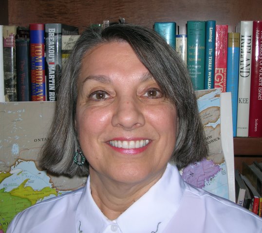
 With a Ph.D. in geography, it comes as no surprise that Jaquay has hosted visitors from many countries and that she herself has traveled to over forty, including India, Bhutan, Nepal, China, Cuba, and out-of-the way islands such as Robinson Crusoe, Easter Island and the Galapagos. She has even hiked the Himalayas in pursuit of furthering her knowledge of archaeological, historical, and geographical mysteries. Jaquay has written several publications on topics concerning Middle America and Arizona Native Americans. Currently, she is working on several Arizona geographical projects and publications, as well as a children’s chapter book on penguins.